| 20th Century
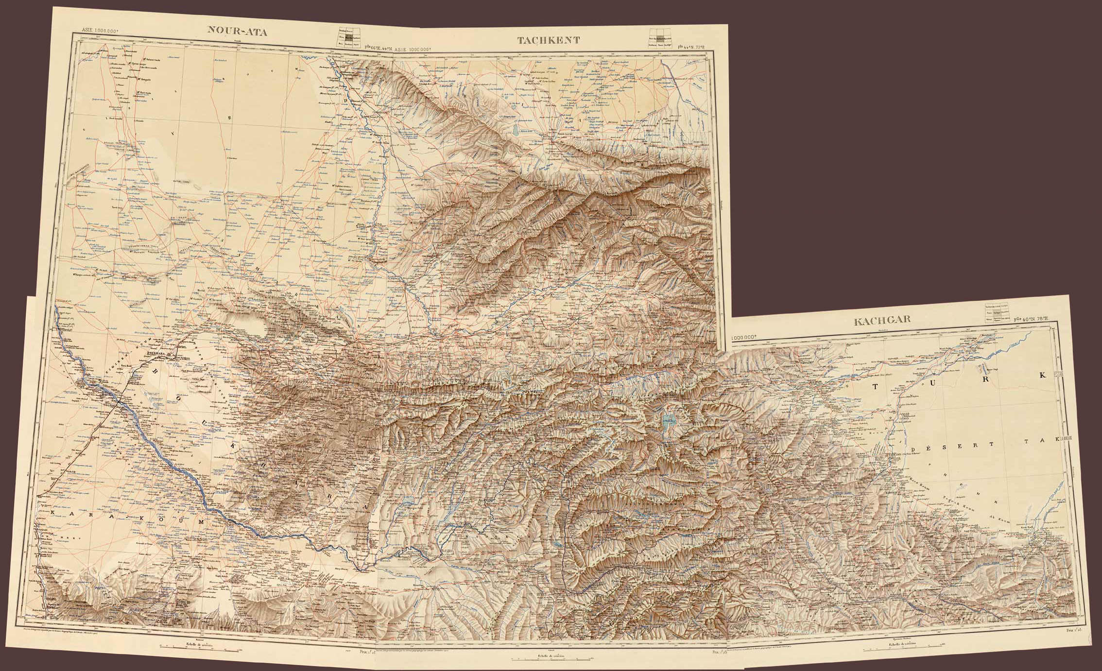
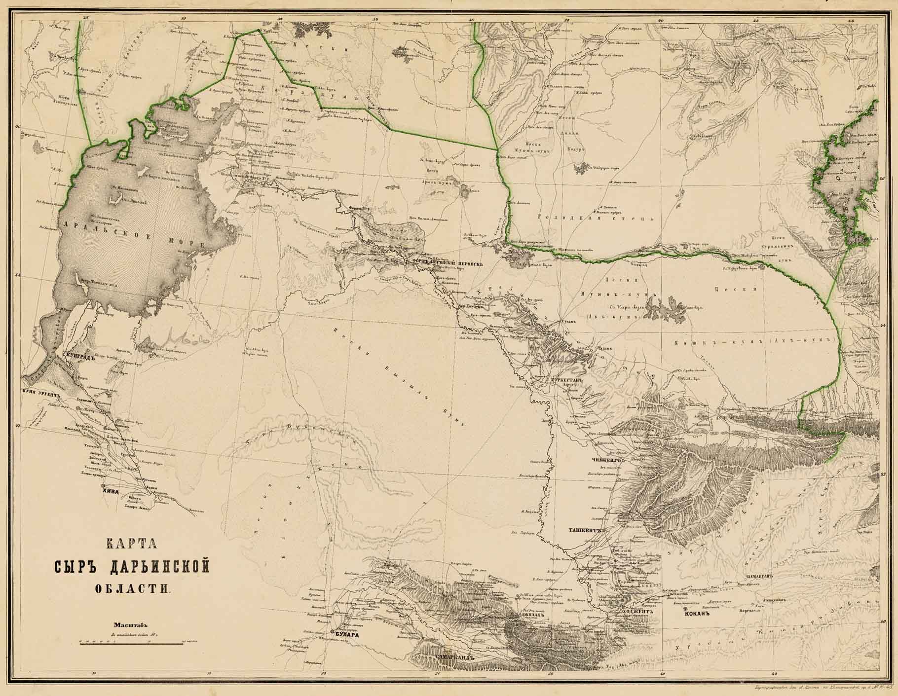
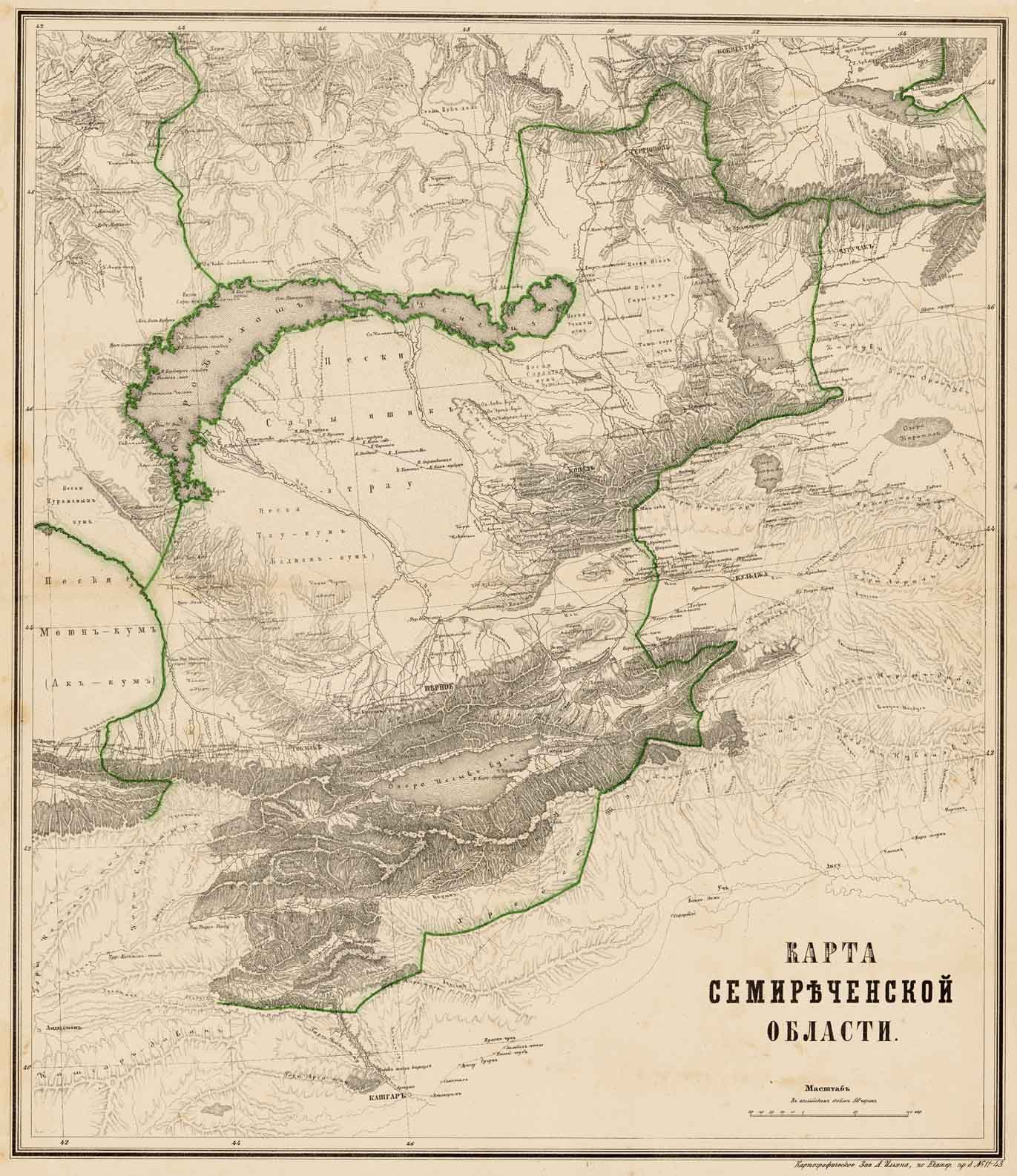
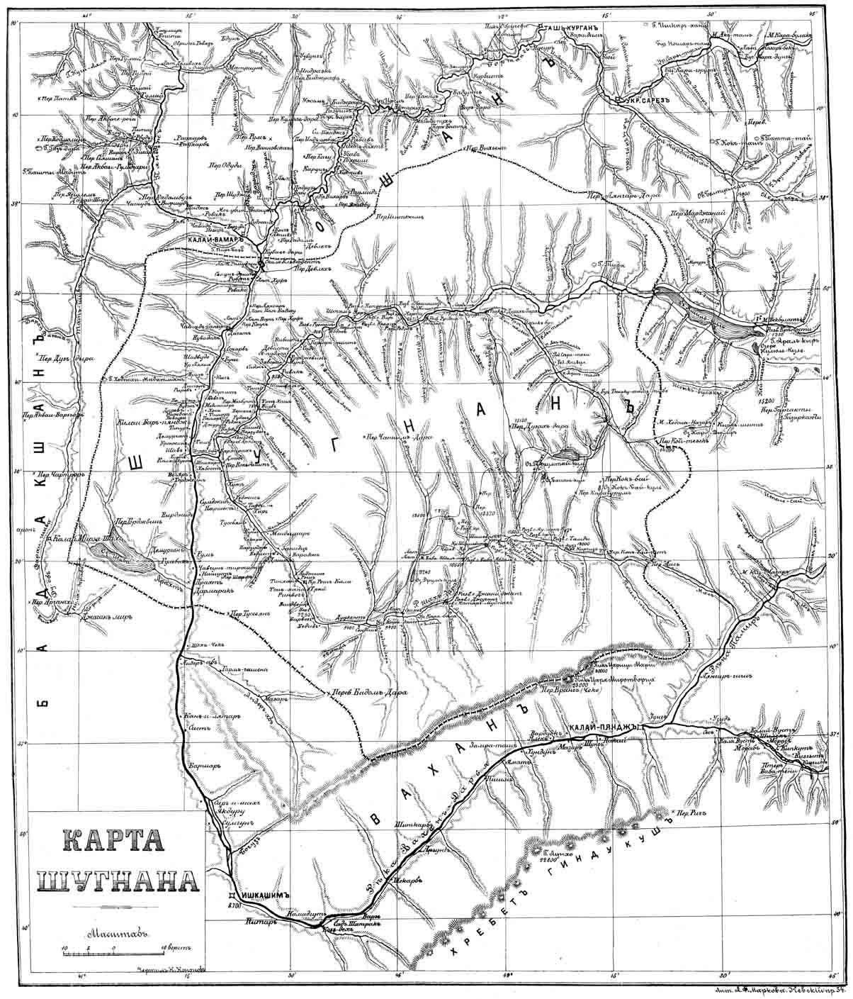
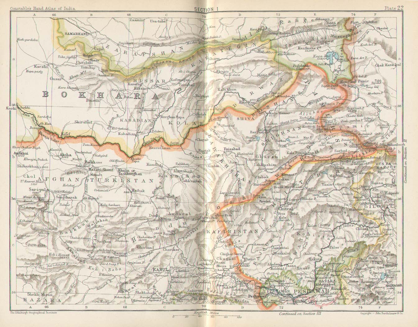
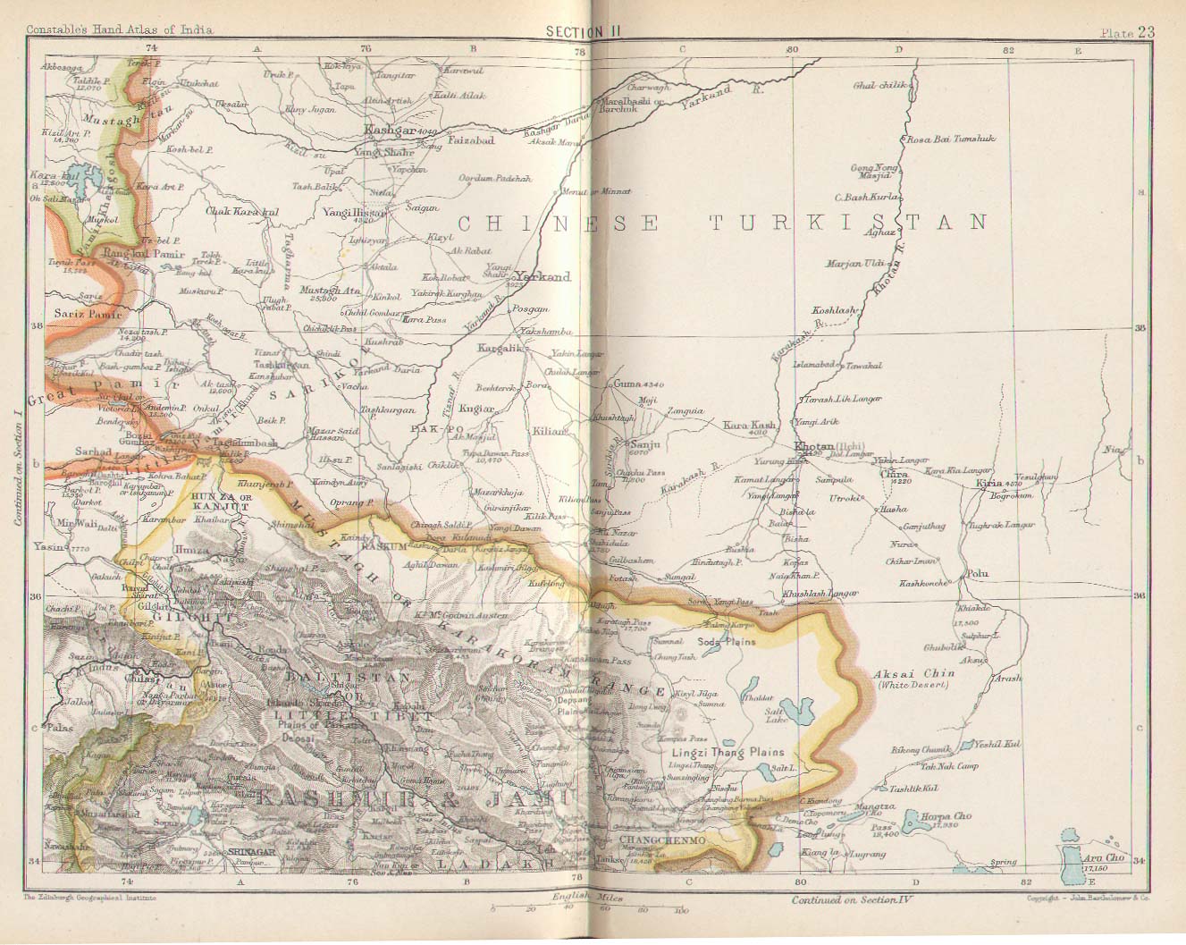
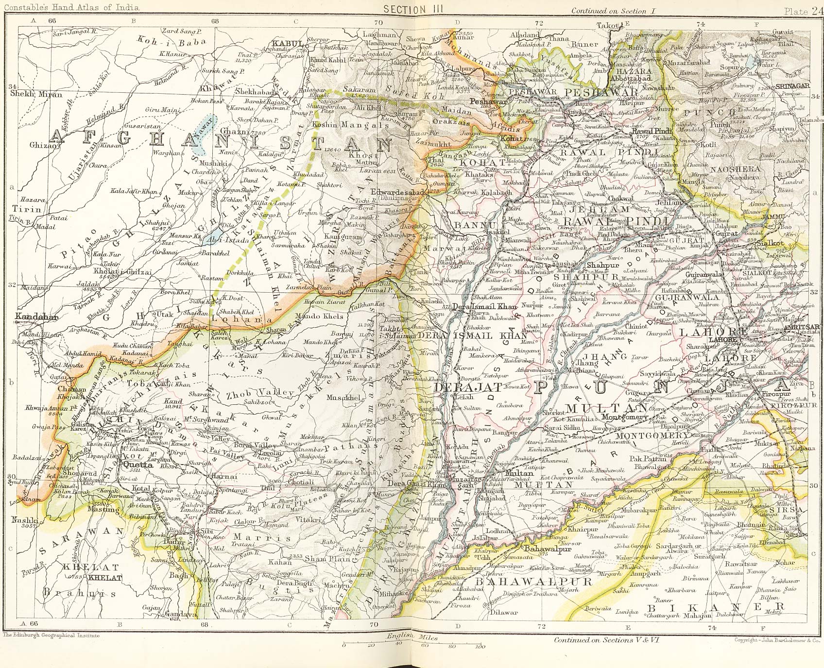
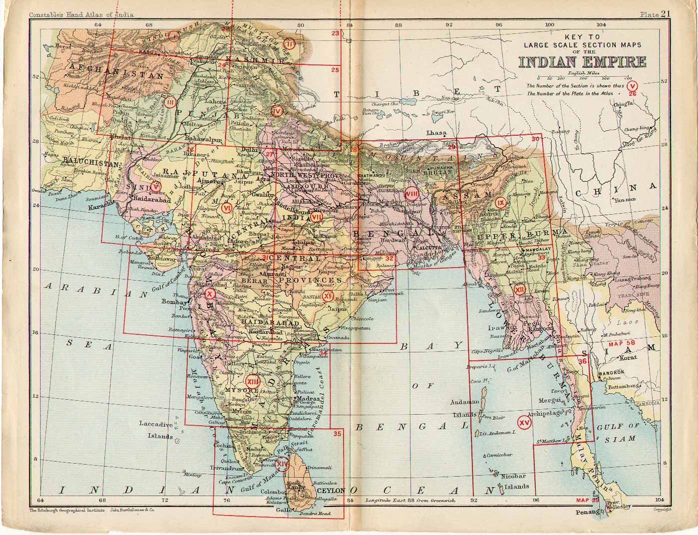
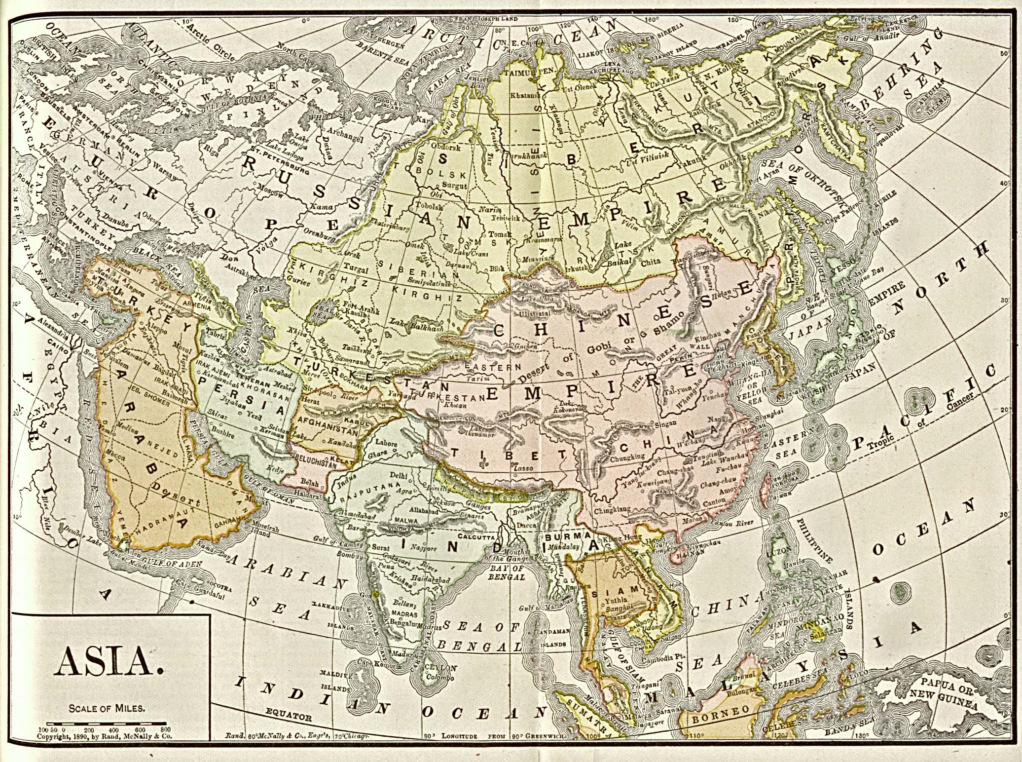
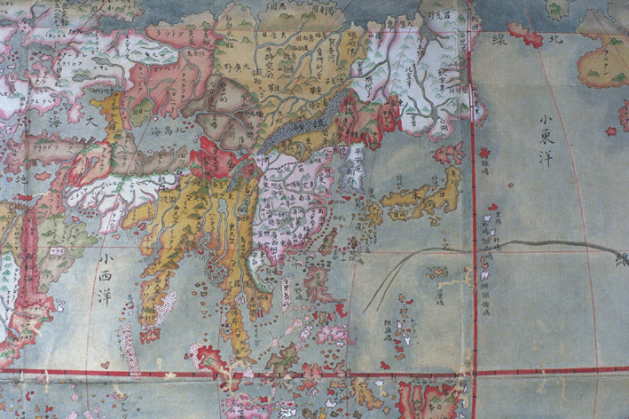
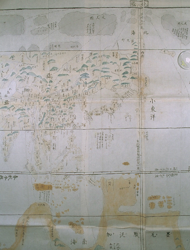
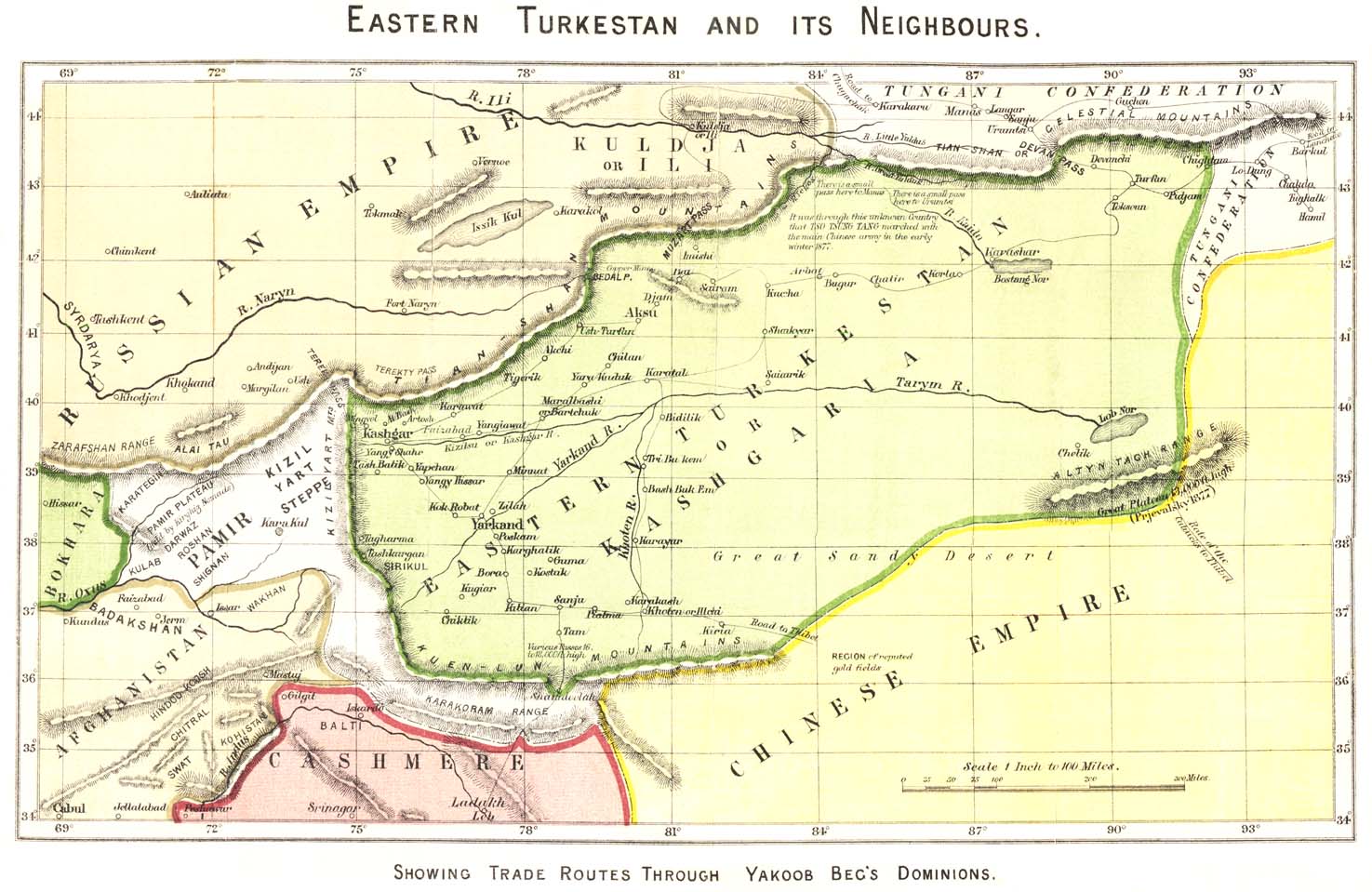
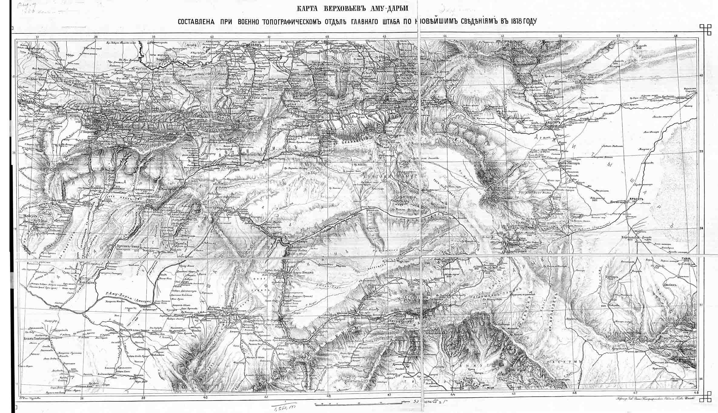
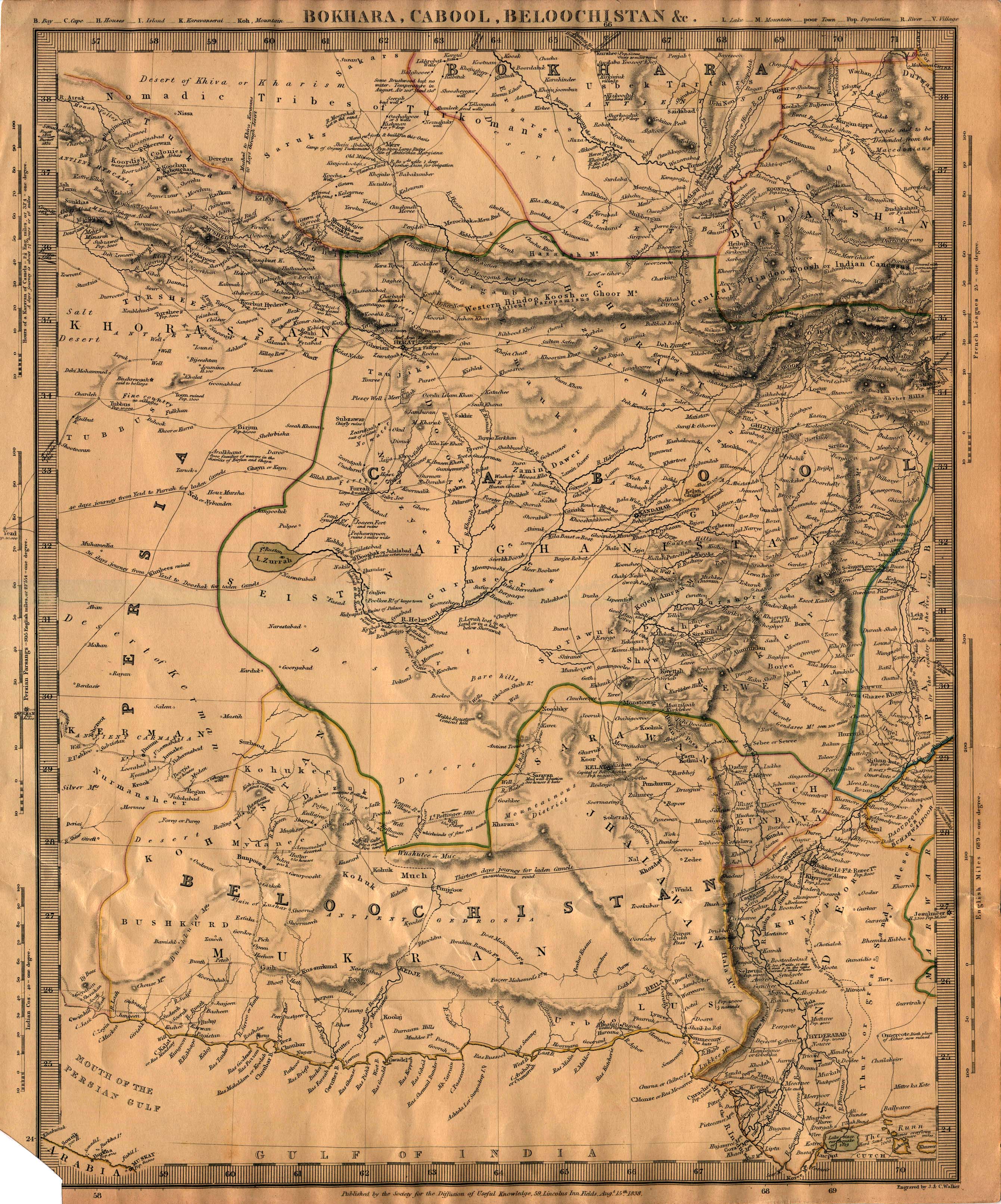
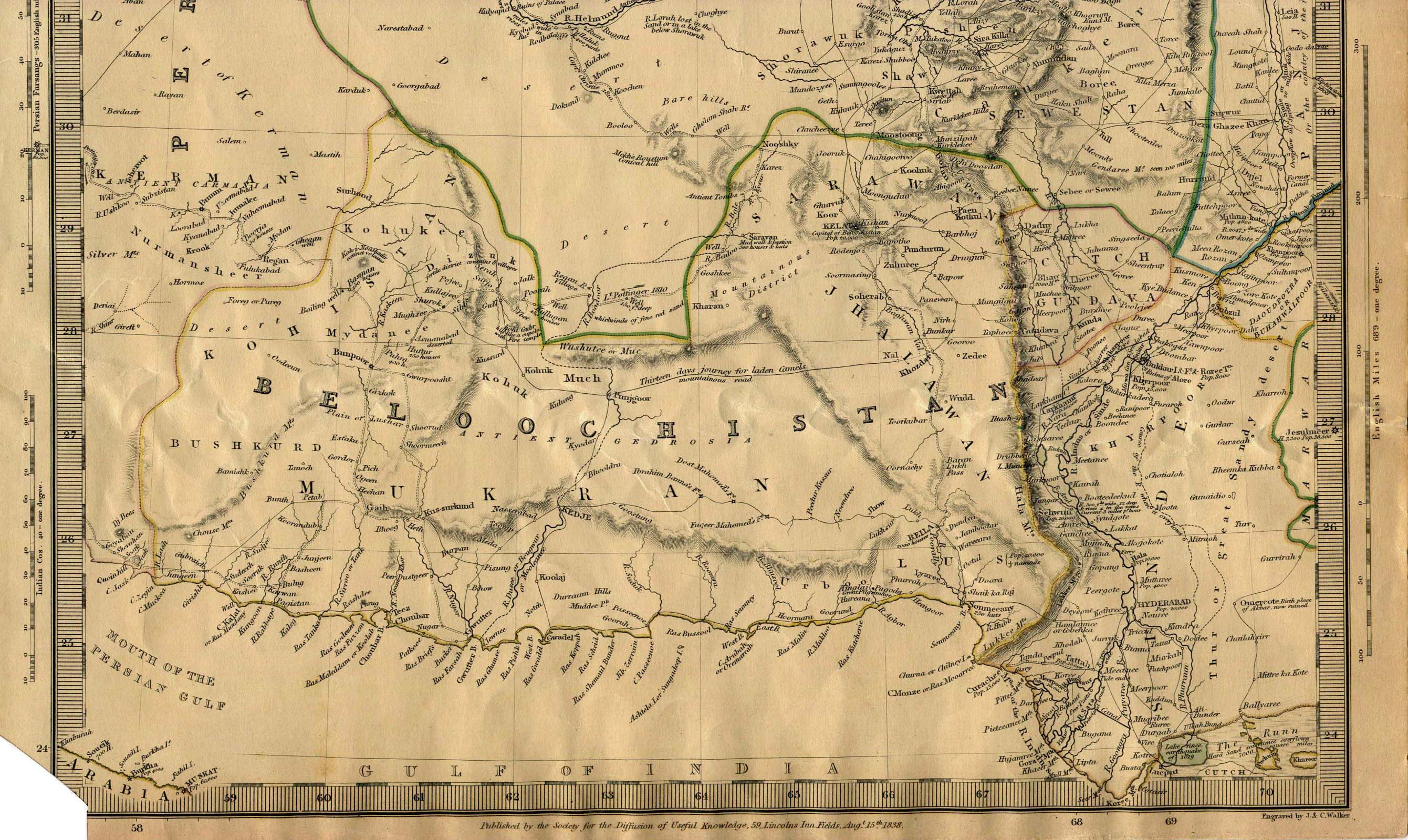
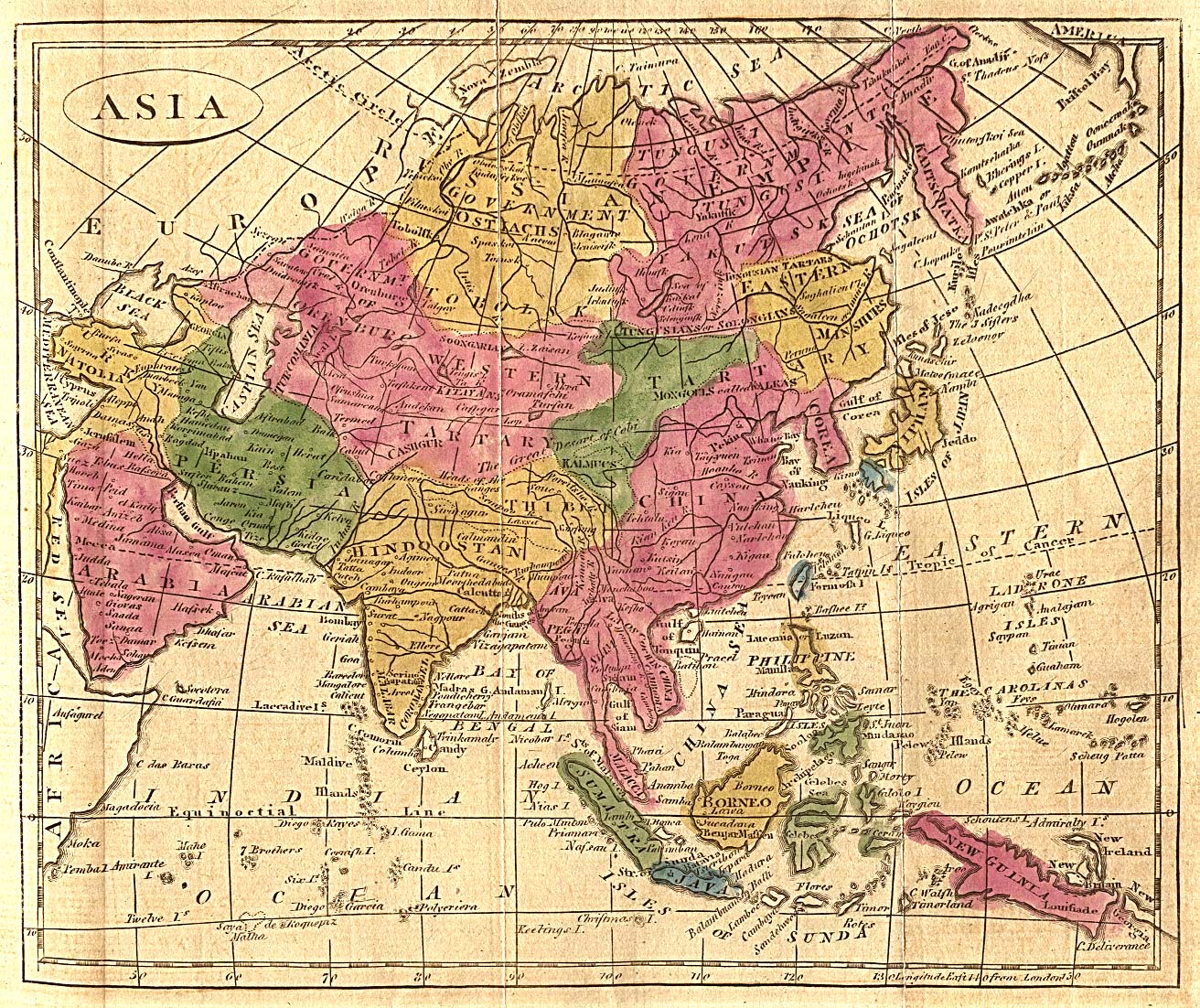
Russia and China’s Expanding Influence and the Rise of Afghanistan. During this time Central Asia was also known as Turkestan or Tartaria, a term that included Siberia. The Khanates of Bukhara and Khiva were conquered by Russia in the 1860s and still appeared as independent states on many maps.
- “L’Asie” Paris 1739 (French) – Map of Asia Including Central Asia(GDZ)
- “Imperii Russici et Tatariae universae tam majoris et Asiaticae” Paris 1739 – Map of Asia Including Central Asia (USC)
- “Nuova carta della Tartaria” Amersterdam 1738 by Isaac Tirion – Map of Siberia and Central Asia (Osaka University)
- “La grande Tartarie” Leide 1736 – Map of North Asia Including Central Asia (GDZ)
- Map of Russia (1734) (Meji University)
- “Magnae Tartariae Tabula Carte de Tartarie” – Amstedam 1733 – Includes Central Asia on Bottom (Grace Galleries)
- “Spatiosissimum Imperium Russiae magnae iuxta recentiÅimas Observationes Mappa Geographica” Augsburg 1732 – Map of Russia and Central Asia (GDZ)
- “L’ Asie” Paris 1732 – Map of Asia Including Central Asia (GDZ)
- “Carte des Indes, de la Chine & des Iles de Sumatra, Java” 1732 – Map of Asia Including Central Asia (USC)
- Map of the Persian Empire 1729 – Includes Central Asian Holdings (Persian) (Yale University)
- “Carte nouvelle de l’Asie septentrionale dressee sur des Observations Authentiques et toutes Nouvelles” London 1726- Map of Central Asiafrom Histoire genealogique des Tatars (GDZ)
- “Carte de l’Asie Septentrionale dans l’Estat on Elle s’est trouvee du temps de la grande Invasion des Tartares dans l’Asie meridionale sous la Conduite de Zingis-Chan” London 1726 – Map of Central Asia fromHistoire genealogique des Tatars (GDZ)
- “Nova Descriptio Geographica Tartariae” 1725 (National Library of Russia)
- “Asia” 1725 – Map of Asia Including Central Asia (USC)
- “Recentissima Asiae Delineatio” Nuremberg 1721 – Map of Asia Including Central Asia (GDZ)
- “Coste de Perse sure le Mer Caspiene et Parties de celles de Tartarie” – Amsterdam 1721 – Map of the Caspian Sea (Putnam Antiquarian Maps)
- “Carte de Tartarie” Amsterdam 1721 (French) – Map of Central Asia and Siberia (GDZ)
- “Geographica Nova ex…Mare Caspium altera Kamzatzadaliam” Nuremberg 1720 – Pair of Maps including one of the Caspian Sea (Yale University)
- “Nova Tabula Imperii Russici” Amsterdam 1720 – Map of Russia Including Central Asia (GDZ)
- “Asia” Augsburg 1720 – Map of Asia Including Central Asia (GDZ)
- “L’Asie Divisèe en ses Empires, Royaumes, et Estats” Amsterdam 1720 (French) – Map of Asia Including Central Asia (GDZ)
- “Exactissima Asiae delineatio” Amsterdam 1720 – Map of Asia Including Central Asia (GDZ)
- “Generalis totius Imperii Moscovitici” 1720 – Map of Russia and Central Asia (USC)
- “A New and Correct Map of Asia” London 1715 – Map of Asia Including Central Asia (GDZ)
- Map of Asia 1715 – Including Central Asia (USC)
- “Asia accuratissime descripta” Amsterdam 1710 – Map of Asia Including Central Asia (GDZ)
- “Asiae pars potissima” Augsburg 1710 Map of Asia Including Central Asia (GDZ)
- “A new map of Asia” 1710 – Map of Asia Including Central Asia(USC)
- “Generalis Totius Imperii Moscovitici Novissima Tabula” Frankfurt 1707 – Map of Russia Including Central Asia from Dreyjährige Reise nach China, von Moscau ab zu Lande durch groß Ustiga, Siriania, Permia, Sibirien, Daour, und die große Tartarey (GDZ)
- “Asia” Augsburg 1706 – Map of Asia Including Central Asia (GDZ)
- “Carte de Tartarie” 1706 – Map of Siberia and Central Asia (USC)
- “L’Asie” Paris 1704 – Map of Asia – Including Central Asia (GDZ)
- “Asia” Munchen 1703 – Including Central Asia (Osaka Unversity)
- “Grande Tartary” – 1703 (Kauai Fine Arts)
- “Generalis totius Imperii Moscovitici novissima tabula; Norimbergae” Nuremberg 1702 (German) – Map of Russia Including Central Asia(GDZ)
- “Geographica nova ex oriente gratiosissima, duabus tabulis specialissimis contenta quarum una Mare Caspium, altera Kamtzadaliam seu Terram Jedso curiose exhibet; Norimbergae” Nuremberg 1703 – Pair of Maps Including the Caspian Sea (GDZ)
- “Asiae Recentissima Delineatio” Nuremberg 1702 – Map of Asia Including Central Asia (GDZ)
- “El Asia” – London c. 1700 – Includes Central Asia (GDZ)
- “L’ Asie” Paris 1700 (French) – Map of Asia Including Central Asia(GDZ)
- “Nova Asiae tabula” Nurember 1698 – Map of Asia Including Central Asia (GDZ)
- “Exactissima Asiae Delineatio” Amsterdam 1697 – Map of Asia Including Central Asia (GDZ)
- “Tabula Tartariae et majoris partis Regni Chinae” Amsterdam 1690 by F. de Wit – Map of Siberia and Central Asia (Osaka University)
- Map of Central Asia – 1690 (John Carl Nelson)
- “Tartaria: sive Magni Chami Imperium” Amsterdam 1690 by Nicolaas Witsen – Map of Siberia and Central Asia (Osaka University)
- ” La Gran Tartaria” Rome 1683 by Giacomo Cantelli da Vignola – Map of Siberia and Central Asia (Osaka University)
- “Tartaria sive magni chami Imperium” – Amsterdam 1683 – Map of North East Asia Including Central Asia (GDZ)
- Magnae Tartariae magni Mongolis Imperia Imperia, Iaponiae et Chinae Nova Descriptio by Fredrik de Wit c. 1680 – Includes Central Asia(Tooley Adams)
- “Guillaume Sanson: L’Asia” Rome 1677 – Map of Asia Including Central Asia (University of Osaka)
- “Pierre Duval: L’Asie” c. 1677 – Map of Asia Including Central Asia(University of Osaka)
- “L’Asie : reveu´ et augmente” 1676 – Map of Asia Including Central Asia (USC)
- “Estates of the Great Duke of Russia Blanch” – Designed by Mounsr. Sanson Geographer to the French King c.1670 – includes Tartaria Bottom (Heritage Map Museum)
- “Asia” Amsterdam 1668 – Map of Asia Including Central Asia (GDZ)
- “Tartaria sive Magni Chami Imperium” 1660 (Yale University)
- “Accuratissima totius Asiae Tabula” Amsterdam 1660 – Map of Asia Including Central Asia (GDZ)
- “Nicolas Sanson: La Grande Tartarie” 1650 – Map of Siberia and Central Asia (Osaka University)
- “Asia Noviter Delineata” C1650 Blaeu, Johannes – Map of Asia Including Central Asia (HKUST)
- “Asie” 1650 – Map of Asia Including Central Asia (USC)
- “Carte de l’Asie” Paris 1639 – Map of Asia Including Central Asia(GDZ)
- “Asia Ex Magna Orbis Terrae” (1595) 1628 by Mercator, Gerard – Map of Asia Including Central Asia (HKUST)
- “A Newe Mape of Tartary” London c. 1627 (Yale University)
- “A newe mape of Tartary” 1626 – Map of Siberia and Central Asia(USC)
- “Asiae Nova Descriptio” 1612 – Includes Central Asia (Yale University)
- “Asiae Nova Descriptio” c. 1610 by Hondius, Jodocus – Map of Asia Including Central Asia (HKUST)
- Mughal Empire 1605 – Includes Portion of Afghanistan (Frank E. Smith)
- “Tartaria” – 1604 – Note the Caspian Sea named “Mare de Bachu”
(Kuai Fine Arts)
- “Tartariae Sive Magni Chami Regni Typus” 1603 (US Library of Congress)
- “Asia” c1602 – Includes Central Asia (HKUST)
- “Tartariae” – 1600 (Yale University)
- “Asia” Oberursel 1600 – Map of Asia Including Central Asia (GDZ)
- “Asiae Nova Descriptio” c1580 – Map of Asia Including Central Asia(HKUST)
- Map of Central Asia in 1575 (Kokshetau Online)
- “Theatrvm orbis terrarvm. – Asia” in the Ortelius Atlas 1570 – Map of Asia (Library of Congress)
- “Theatrvm Orbis Terrarvm – Tartaria Siue Magni Chami Imperivm” in teh Ortelius Atlas 1570 – Map of Central Asia and Siberia
(Library of Congress)
- “Russiae, Moscoviae et Tartariae Descriptio” – London 1562 (Yale Univesity)
- “Primae Partis Asiae” Gerard de Jode – Antwerp 1578 – Includes Central Asia (Tooley Adams)
- Asie Paris 1575 – Includes Central Asia (French) (Yale University)
- “Tartariae Sive Magni Chami Regni” 1570 (Yale University)
- “Tommaso Porcacchi: Asia” 1572 – Map of Asia Including Central Asia (Osaka University)
- “La Table de la Region Orientale, Comrenant Le Derniers Terres & Royaumes d’Asia” by Henrich Petri Basle c.1540 – includes Central Asia (Tooley Adams)
- Map of Russian Conquests 1462-1533 – Includes Central Asia (Russian) (Vladimir V. Nikolaev)
Turkic and Mongolian Conquest of Central Asia
- Map of Asia 1540 – Including Central Asia (David Gorgan)
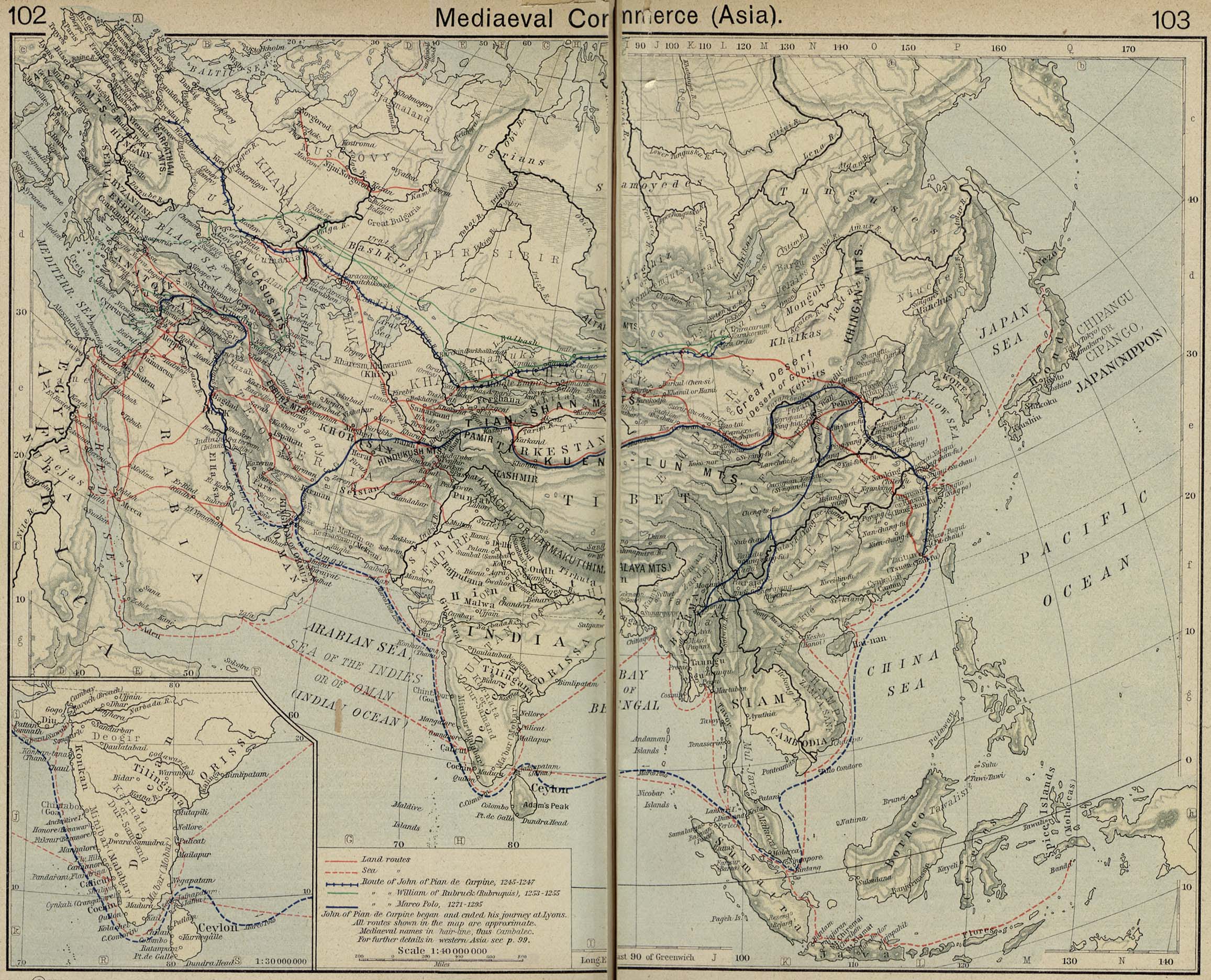
- Mediaeval Commerce in Asia – Includes Silk Road (University of Texas)
- Map of the Muslim World c.A.D. 1500 (University of Pennsylvania)
- Map of Mongol Empires c. 1200-1480 (Hyper History)
- Map of Conquests of Timur 14th Century (Russian) (Vladimir V. Nikolaev)
- The Mongol Dominions, 1300-1405 (University of Texas)
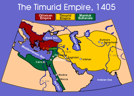
- Map of the Timurid Empire 1405 (Abuss)
- Map of Timurid Empire (1370-1405)
- Map of the Timurid Empire (Kokshetau Online)
- Map of Asia from the Catalan Atlas, Spain – 14th Century – Includes Central Asia (Biblioteque National de France)
- Map of Asia from the Catalan Atlas from the 14th Century – Includes Central Asia (Henry Davis.com)
- Map of Central Asia from the Catalan Atlas, Spain – 14th Century(Biblioteque National de France)
- Map of Central Asia and India from the Catalan Atlas, Spain – 14th Century (Biblioteque National de France)
- Map Caravan Crossing the Silk Road from the Catalan Atlas, Spain – 14th Century (Biblioteque National de France)
- Map of the Caspian Sea from the Catalan Atlas, Spain – 14th Century(Biblioteque National de France)
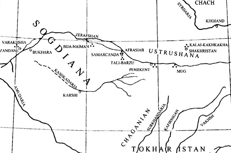
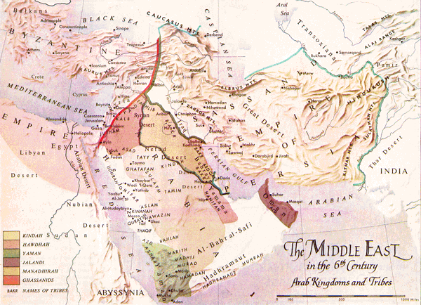
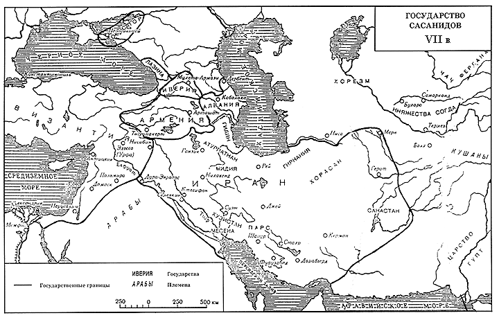
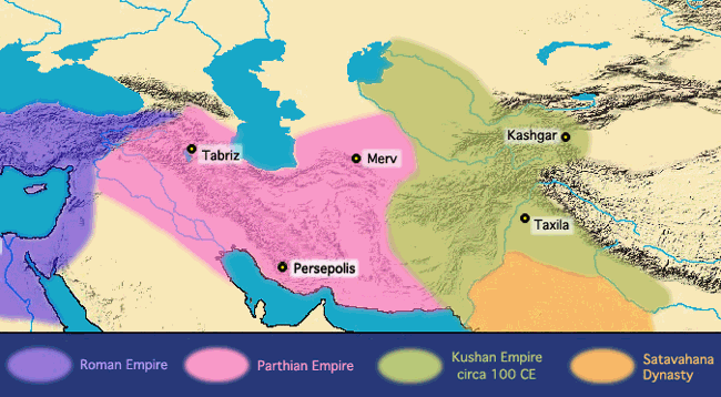
Ancient Central Asia
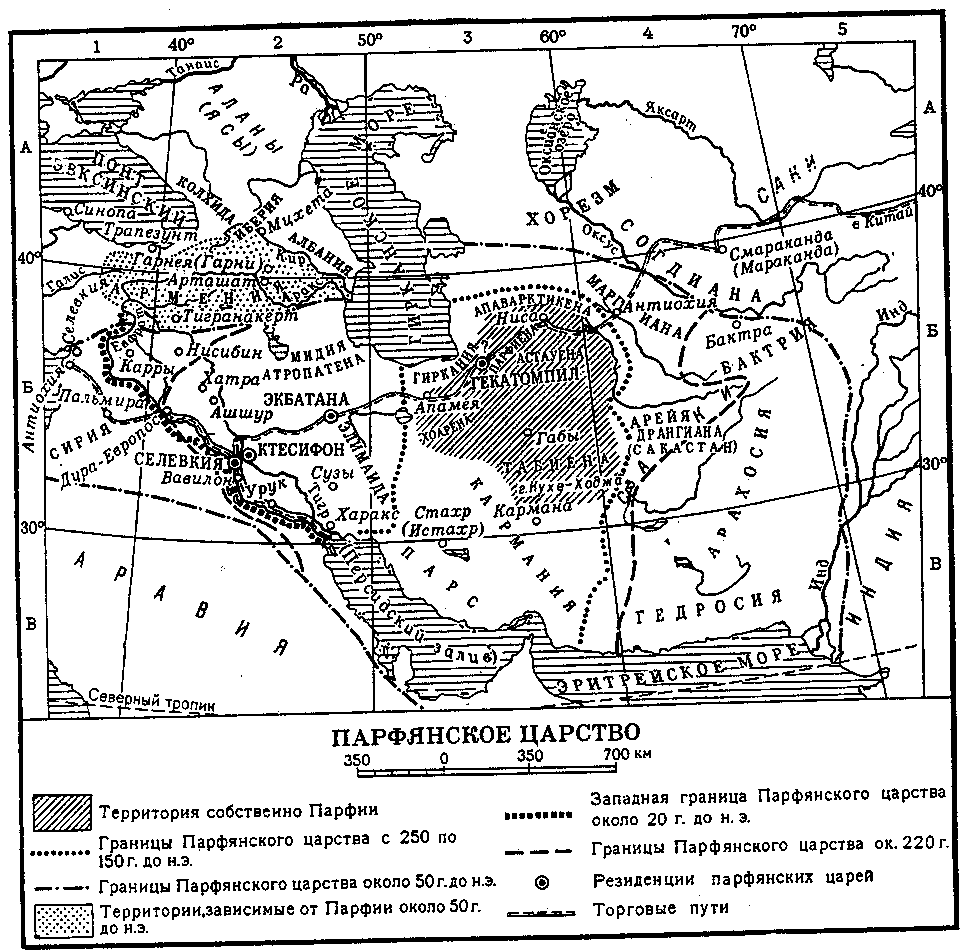
In the ancient world Central Asia was known as Bactria and Sogdiana. The region was populated mostly by Iranian ethnic groups whose descendents include the Tajiks. It was first occupied by the Persian Empire and later was conquered by Alexander the Great. Several later empires arose in the region including the Khushan and Sansid. The Arab Umayyad Empire conquered Central Asia and brought Islam the Region.
|
